NWS Storm Prediction Center Norman OK
   0650 PM CST Sun Jan 07 2024

   Valid 080100Z - 081200Z

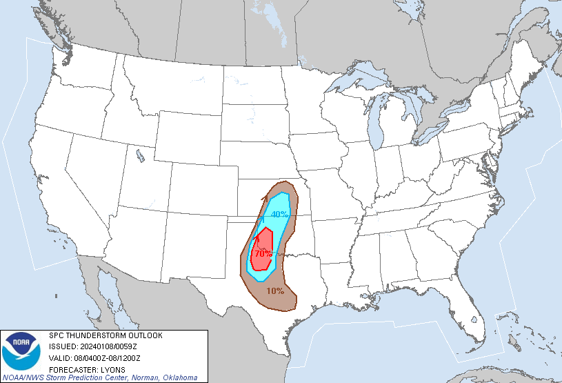
   ...THERE IS A MARGINAL RISK OF SEVERE THUNDERSTORMS OVER PORTIONS OF
   WESTERN NORTH TEXAS AND SOUTHWEST OKLAHOMA....

   ...SUMMARY...
   A few strong storms capable of gusty/damaging winds are possible
   late tonight over portions of western north Texas and southwest
   Oklahoma.

   ...01z update...
   An intensifying upper trough over AZ is progged to continue
   amplifying as it makes its way over the southern Rockies this
   evening and into late tonight. A 90-100 kt 500 mb jet will emerge
   over the southern Plains around 06z, helping to rapidly deepen a
   surface low over northeast NM and the northwestern TX/OK Panhandles.
   Strong low-level warm advection ahead of the surface low will aid in
   developing low-topped thunderstorms across West TX and into parts of
   far southwest OK between 8-12z. Likely elevated above the surface
   stable layer, and with limited buoyancy owing to poor boundary-layer
   dewpoints in the 30-40s F, storms are not expected to be overly
   intense. However, very strong low and mid-level wind fields ahead of
   the trough/low my support the risk for occasional gusty/damaging
   winds with the line of storms. Will maintain the MRGL risk across
   west-central TX with a slight northward nudge into southwest OK for
   the latest CAM guidance.


